
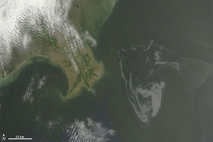
 I thought I would throw in this post for all those interested in environmental impact/monitoring. Google has put up a very good resource on the Gulf of Mexico Oil Spill showing both satellite and drawn imagery on the various stages of the oil spill. It allows users to interactively view elements. Even showing fishing boundaries and how the spill is overlapping those.
It's possible to view this event within a web browser using the more commonly known Google Maps based interface. Those that want more flexibility viewing items may prefer to download files that can be opened in Google Earth these are also available from the oil spill map site.
Just a quick tip, don't forget to turn on the Terrain layer (as shown below). This will give you a near real life interpretation of the terrain.
 For serious map users, I will mention that Google Earth Pro is available to university staff. Please register your request with IT support. When you have installed Google Earth Pro, I strongly recommend running the software, going to the help drop down menu in the interface and searching for updates to obtain the latest version.
Satellite image above courtesy of NASA
No comments:
Post a Comment